
Specialised chart plotters, mobile phone apps and open source software have become more popular and affordable. They serve as practical navigational aids, particularly on small, bouncing vessels where a lack of space is not conducive to paper and pencil navigation.
But electronic kit can fail and over-confident or incompetent users can make errors with serious consequences. The well-publicised grounding of Team Vestas Wind in the 2014 Volvo Ocean Race, due to “deficient use of electronic charts” should serve as a warning – if the pros can make this sort of error, the recreational boatie should be extra vigilant.
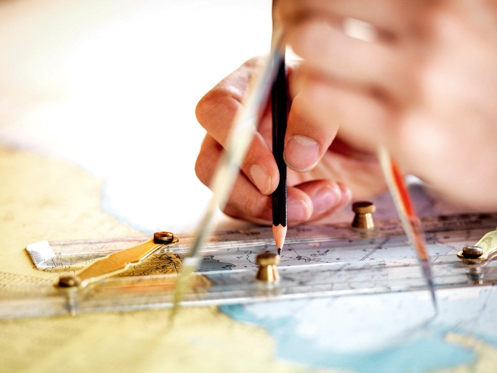
‘Old fashioned’ paper charts aren’t just as a back-up for electronic plotters – they should be viewed as an essential tool for the navigator. Planning and compiling routes on a chart plotter/ mobile device is possible, but the screens are often too small for this to be practical or safe. On an electronic plotter you can zoom in but may lose the wider picture; or you can zoom out and lose the detail.
Plotters combine the position information provided by the GPS receiver with the vessel’s position superimposed on an electronic representation of a chart. It’s important to understand that there are two fundamentally different types of charts used on plotters: ‘Raster’ and ‘Vector’.
RASTER CHARTS
Raster charts are an electronic ‘scanned’ copy of an existing paper chart. They look exactly like paper charts and contain the same information. While you can ‘zoom in’ and increase the size of the image, you’re still working with the same original resolution and scale of the original chart. Zooming in is like looking at a paper chart through a magnifying glass.
Raster charts are ‘quality-assured’. This is because they are copies of existing charts and are produced by the relevant National Hydrographic Office. In New Zealand you can source raster charts free of charge via the LINZ website – coupled with open source software that turns your laptop into a plotter.
VECTOR
Rather than a scanned copy of a paper chart, vector charts can be visualised as layers of digital information stored in a database, displayed on a screen providing a representation of a chart. The fundamental difference is that vector charts can be ‘zoomed’ in or out to a far greater extent.
The display can also be customised, with layers of information added or removed. For example, you may wish to remove depth sounding figures above a certain value (e.g. not show depths greater than 10m), or remove all place names to reduce clutter. Be cautious that you – or another user – hasn’t de-selected vital information!

On many models features can be ‘interrogated’ with the cursor. For example, placing the cursor over a lighthouse will display an information box containing all information regarding the light and the structure.
Many Vector charts are also produced in conjunction with hydrographic departments and so come with a ‘quality assurance’ – but be aware, not all come with this guarantee of accuracy.
ELECTRONIC CHART CORRECTIONS
To be reliable, electronic charts, just like the paper versions, must be kept up to date. With paper charts the weekly Notices to Mariners will provide the necessary information. These are available from the LINZ website, which gives a summary of the corrections to every New Zealand Chart for the past two to three years.
But how do you keep electronic charts up to date? Some vendors will supply free updates while others may have a fee. Charts for mobile devices may be updated automatically and some fixed units provide a Bluetooth or Wi-Fi system for updates.
PAPER CHARTS
Paper charts are not relics from a bygone age that belong in a museum. They provide a ‘big picture’ overview of an area and are not dependent on battery power. Unless suitably equipped with highly specialised equipment New Zealand commercial vessels are still required to carry paper charts.
The Team Vestas Wind report recommended that sufficient paper charts continue to be carried on these professional race yachts – if it’s required for the pros then there’s a place for them on the recreational boat.
If you want to know more about navigation and your MFD’s features, you might find Coastguard’s GPS course useful – after all, winter’s the perfect time to upskill.


